Historical Southeast Asia: from Hanoi to Angkor
What this program is built around
This program uses mainland Southeast Asia to examine how rivers, trade, and political power have shaped societies over time. Rather than treating Vietnam and Cambodia as separate destinations, it positions them within a connected system built around water, movement, and exchange.
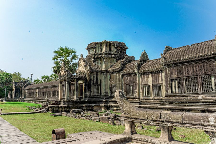
Participants move from the Red River in Hanoi to the trading networks of Hoi An, the Mekong Delta’s agricultural systems, and finally Angkor — a historical empire whose power was inseparable from its water infrastructure.
The program is structured so that each location adds a layer: state formation, maritime trade, colonial transformation, rural production, and imperial systems.
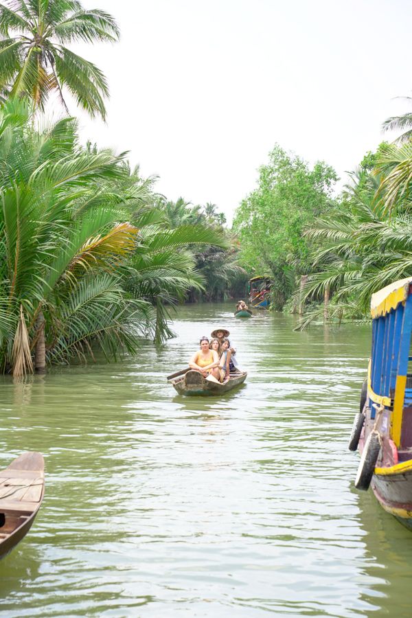
The program works because it connects physical geography with political and economic systems. Rivers are not treated as scenery, but as infrastructure.
Students encounter how power is built differently in each context — from imperial capitals to trading ports to modern cities.
This makes the region legible as a system rather than a sequence of stops.
What participants actually do
What is typically included
Multi-region travel
North, central, and southern Vietnam, extending into Cambodia.
Historical sites
Imperial, colonial, and modern locations across the region.
River systems
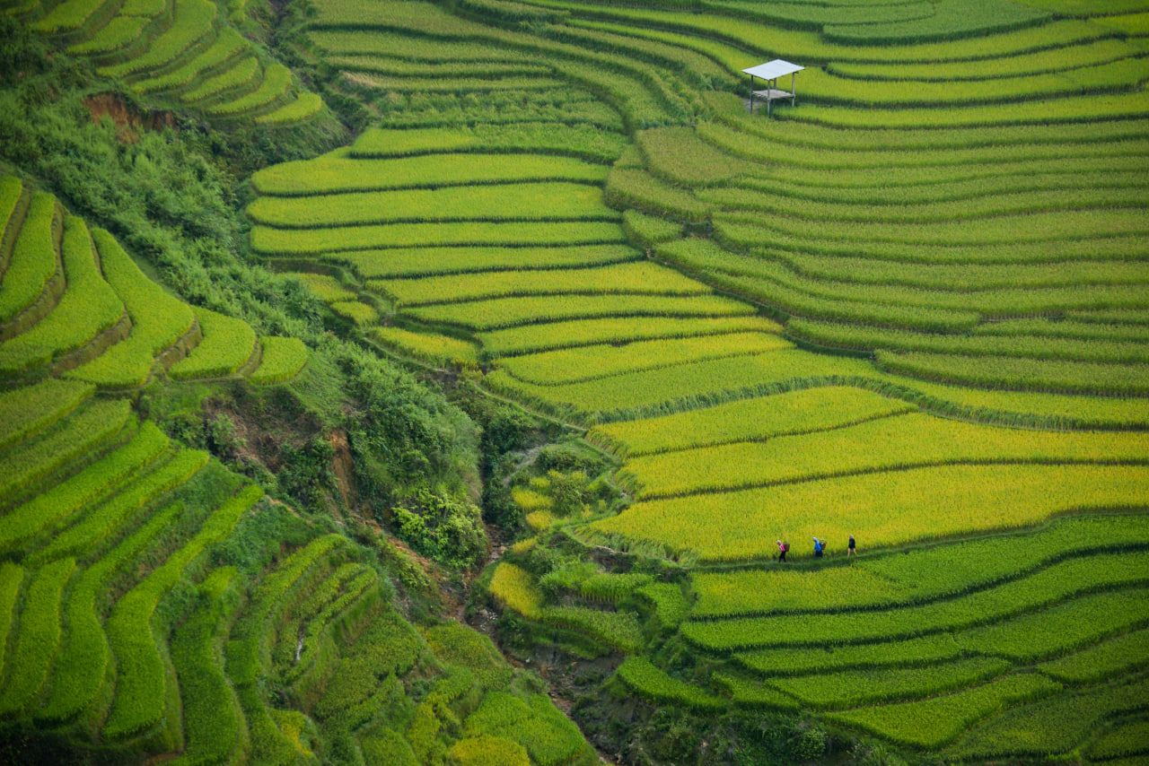
Ha Long Bay and Mekong Delta as physical and economic systems.
Cultural immersion
Markets, workshops, food, and local daily life experiences.
Program flow
Northern Vietnam
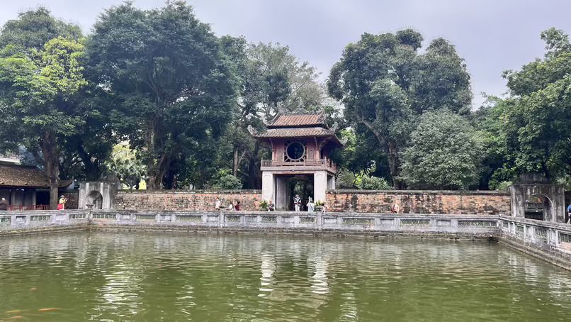
Hanoi and Ha Long Bay — state formation and landscape systems.
Central & Southern Vietnam
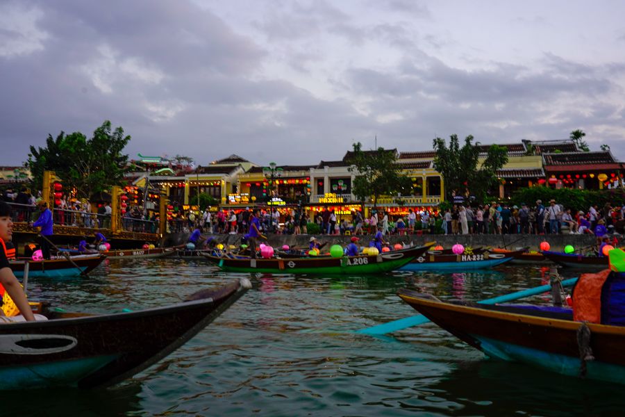
Hoi An, Ho Chi Minh City, Mekong — trade and production networks.
Cambodia
Angkor — empire, water systems, and historical power structures.
Request a program outline
Tell us your academic focus and we can shape this program around your course objectives.
Want a customized tours that fits your organization’s need? Talk to us now!
Or drop us a line at [email protected]